New seaweed map
A new interactive map is turning thousands of citizen-recorded seaweed sightings into a picture of how climate change is reshaping the UK’s coastal ecosystems
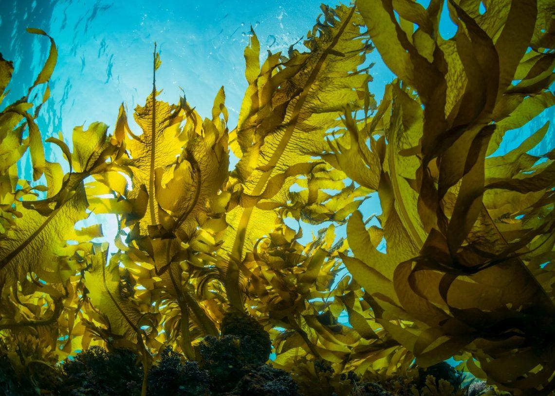
Seaweed is like an ecological early warning system. Highly sensitive to environmental fluctuations but unable to move away from poor conditions like fish or mammals, they are the ultimate ‘canaries in the coal mine’ for coastal health.
Now a new interactive map built by Amazon Web Services (AWS) and the Natural History Museum (NHM) is bringing together thousands of individual seaweed sightings logged by volunteers, beachcombers and amateur naturalists, turning individual finds into a living portrait of our changing shores.
For 10 years, the NHM and the Marine Conservation Society have invited people to record sightings of 14 specific indicator species through the Big Seaweed Search, to build a picture of how coastal ecosystems are evolving. But with so many individual submissions, patterns can be easy to miss. That’s where AWS comes in. By bringing the data together, the map helps organise sightings, to make sense of what the seaweed is telling us.
What seaweed is telling us
Scientists are using the map to trace climate-driven shifts in species distribution, such as warm-water species creeping further north. Over the past 40 years, the sea surface temperature around the UK has increased by roughly 2°C. Because the UK sits in a biological ‘Goldilocks zone’ – the geographical edge of what is ‘just right’ for many species – even a tiny temperature shift causes immediate changes. The map reveals that cold water native seaweeds, like dabberlocks, are struggling, while warm-water species are rapidly shifting their ranges. Beyond warning signs, the map also helps marine biologists monitor the resilience and recovery of vital kelp forests, which act as critical carbon sinks and biodiversity hotspots along the UK coast.
Projects like this show how small, localised observations can be combined to reveal macro-level ecosystem insights. You can check out the map at the link below.

Jo Tinsley
Jo is the Gear Editor for Outdoor Swimmer and also writes news and features for the website. A keen open water swimmer and long-distance walker, she loves seeking out lakes and lidos close to her home in the Mendip Hills, Somerset. She is the author of The Slow Traveller, editor and founder of independent magazine, Ernest, and has previously tested outdoor clothing and kit for BBC Countryfile Magazine, BBC Focus and Ernest Journal.